BIM Meets GIS: Building City-Scale Digital Twins
BIM knows the building; GIS knows the world it sits in. Bringing them together is how the industry is building digital twins that work at the scale of a city.
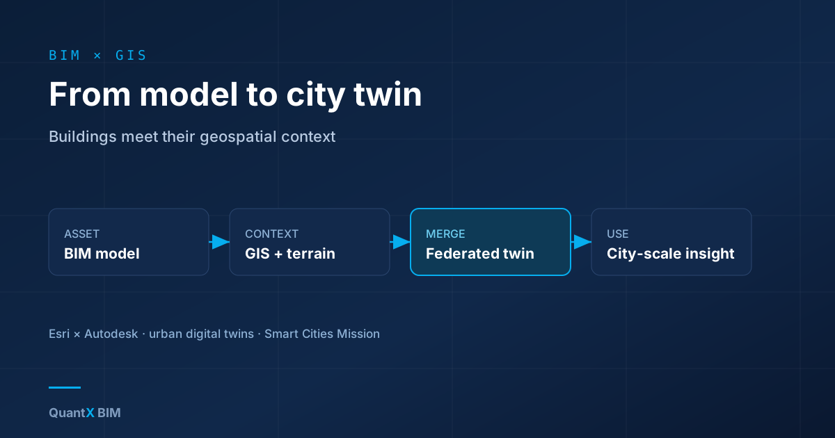
BIM and GIS grew up in different worlds. BIM describes a single asset in exquisite detail — every beam, duct and door. GIS describes the world those assets sit in — terrain, parcels, roads, networks and populations, across whole cities and regions. For years they barely spoke. The convergence of the two is now one of the most interesting frontiers in the industry, because it is how digital twins scale from a building to a city.
Why Neither Is Enough Alone
A BIM model with no context cannot answer city questions: how a new tower affects traffic, drainage, shadows or utilities. A GIS map with no asset detail cannot answer building questions: what is inside, how it performs, what it will cost to operate. Real decisions — routing a metro line, planning flood resilience, managing a district's energy — need both the object-level richness of BIM and the spatial reach of GIS in the same picture.
What Is Making It Possible
Two things. First, deliberate collaboration between the major BIM and GIS vendors (notably the Esri–Autodesk partnership) that has made moving data between the two dramatically less painful. Second, better standards and formats for streaming large, mixed 3D datasets, so a detailed building can sit inside a lightweight city model without collapsing anyone's hardware. The result is a federated model: authoritative asset data and authoritative spatial data, linked rather than crammed into one file.
Where the Value Shows Up
- Planning and approvals. Proposals can be assessed in real context — views, shadows, traffic, infrastructure capacity — instead of in isolation.
- Infrastructure. Linear projects live in the landscape; BIM-GIS is the natural home for corridors, utilities and their surroundings.
- Operations at scale. A campus, airport or city district can be managed as a connected estate, with each asset's data available in its spatial place.
The Smart-Cities Angle
For governments pursuing smart-city programmes — India's Smart Cities Mission among them — BIM-GIS convergence is the practical substrate for an urban digital twin: a living model that blends buildings, infrastructure and geography to plan, simulate and operate a city. The technology is no longer the barrier; governance, data quality and keeping the twin current are. But the direction is clear. The future digital twin is not one building or one map — it is both, joined up, at the scale where cities are actually run.
References
- CityGML Standard — Open Geospatial Consortium
- IndoorGML Standard — Open Geospatial Consortium
- Industry Foundation Classes (IFC) — buildingSMART International
- The Gemini Principles — Centre for Digital Built Britain, University of Cambridge
- Open Geospatial Standards for Location Data — Open Geospatial Consortium